Yujie Zheng

Yujie Zheng

Assistant Professor

University of Texas at Dallas

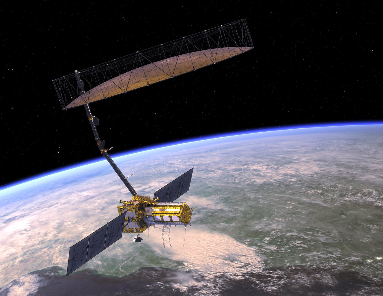
I am an Assistant Professor in the Department of Sustainable Earth Systems Sciences at The University of Texas at Dallas. I use satellite radar, geodesy, seismic observations, and physical models to study natural and human-driven changes at Earth’s surface and in the subsurface.

My research began in solid-Earth geophysics and now centers increasingly on groundwater and coupled hydrosphere-geosphere systems. Current projects examine groundwater recharge and sustainable yield in Greater Los Angeles, irrigation and soil moisture in the High Plains, slow slip in Cascadia, and the effects of resource extraction in water-limited environments. Across these applications, I develop radar observables and combine complementary measurements to constrain processes that cannot be observed directly.

I lead the UTD Imaging Radar Laboratory, where our group works across geophysics, remote sensing, hydrology, and data science.

Interests

  • Radar geophysics and InSAR
  • Groundwater and hydrogeodesy
  • Tectonics and volcanology
  • Climate-sensitive geohazards

Education

  • PhD in Geophysics, 2020

    Stanford University

  • BS in Geophysics, 2014

    Peking University

Research program

Radar geophysics for a changing Earth

I develop satellite radar and geodetic observations to understand processes that shape Earth’s surface and subsurface. A common approach connects my work: extract reliable signals from complex measurements, combine them with complementary observations, and use physical and inverse models to constrain processes that cannot be observed directly.

My current program connects three scientific directions:

  • Groundwater under climatic and human forcing. Long-term InSAR, seismic sensing, and groundwater models reveal how aquifers respond to drought, atmospheric-river recharge, pumping, and resource extraction.
  • New radar observables. Theory for decorrelation, closure phase, and multi-frequency SAR turns measurement complexity into information about soil moisture, irrigation, and land-surface change.
  • Solid-Earth deformation. InSAR, GNSS, tremor, and mechanical models constrain slow slip, faulting, and magma-reservoir processes.

Since joining UT Dallas, I have established the UTD Imaging Radar Laboratory and built a collaborative group spanning Earth science, engineering, statistics, and data science. Current externally funded projects include a NASA investigation of groundwater recharge in Greater Los Angeles and a CRESCENT study of Cascadia slow slip.

Publications

(2025). Satellite radar advances carbon emissions accountability over tropical peat. Communications earth & environment.

PDF Project DOI

(2025). Modeling, Prediction and Retrieval of Surface Soil Moisture from InSAR Closure Phase. Remote Sensing of Environment.

PDF Project DOI

(2025). Mapping Spatiotemporal Variations of Near-Surface Seismic Velocity to Monitor Groundwater in Central Oklahoma. GRL.

PDF Project DOI

(2025). Depth-dependent seismic sensing of groundwater recovery from the atmospheric-river storms of 2023. SCIENCE.

PDF Project DOI

(2022). On Closure Phase and Systematic Bias in Multi-looked SAR Interferometry. IEEE TGRS.

PDF Code Project Video DOI

Contact

  • yujie.zheng@utdallas.edu
  • Department of Sustainable Earth Systems Sciences, ROC 2.301G, University of Texas at Dallas, Richardson, TX 75080