Environmental and sustainability applicaitons
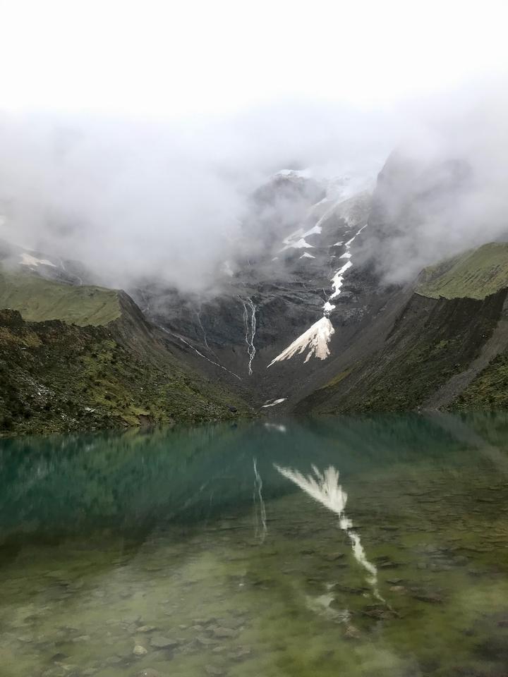 Glacier lake in Cuzco, Peru
InSAR has grown to be a reliable tool for those of us diving deep into crustal deformation studies. But InSAR is not just about measuring target motion. InSAR has this keen sensitivity to changes in things like soil moisture, the lushness of vegetation, and the intricacies of canopy structures. When we truly grasp how SAR measurements respond to these surface dances, it’s like unlocking a treasure trove. We can branch out from just crustal studies to a whole world of applications that can give us a hand in tackling some of the big environmental and resource challenges of our time.
And speaking of the future, I’m eager to delve into how InSAR can help in diverse earth observation areas. Think about mapping atmospheric water vapor, charting out biomass, tracing groundwater flows, and keeping tabs on permafrost and glaciers, Not to mention its potential in stepping up during emergencies and keeping a watchful eye on our infrastructures. The journey ahead is bound to be exciting.
Related presentations:
1 “Investigating land surface displacements over the San Gabriel Valley, California”, AGU 2021
2 “Ups and Downs of Beverly Hills, California”, Earthscope 2022
3 “Modeling soil moisture with closure phase bias”, Fringe 2023
Yujie Zheng
Assistant Professor
My research focuses on developing and applying new techniques to analyze a combination of geodetic observations to better understanding changes of the Earth’s surface related to natural and anthropogenic processes.