InSAR theory and algorithms
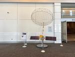
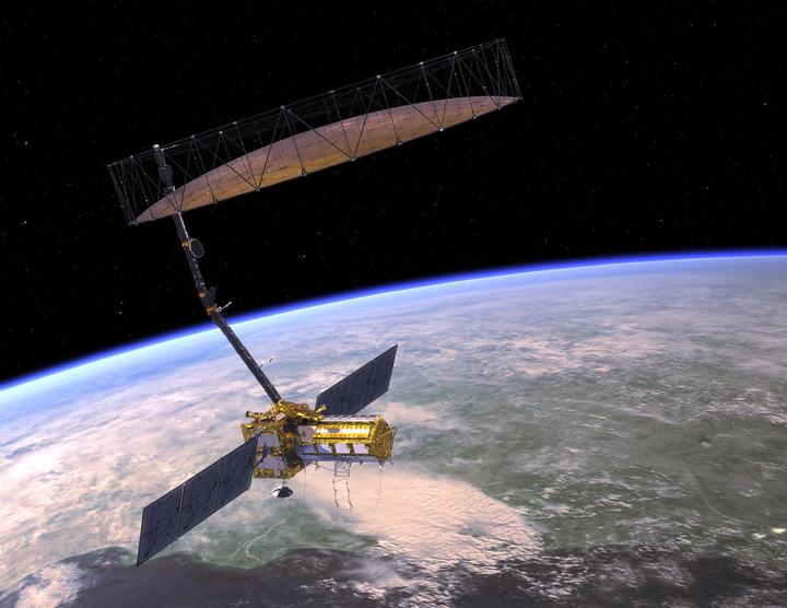 NiSAR, NASA JPL
Isn’t it wonderful how technology keeps evolving? Thanks to recent leaps in satellite remote sensing, we’re now able to monitor our ever-changing Earth in greater detail and at a pace we’d never imagined possible. However, this comes with its own challenges. As the flood of data keeps growing, figuring out the best ways to use it to address the world’s pressing environmental and resource concerns has become a primary challenge in earth science research.
My research is driven by one main passion: making the most of modern geodetic datasets, especially interferometric synthetic aperture radar (InSAR) measurements, to understand the changes on Earth’s surface. I have delved into:
(1) Crafting a geocoded SAR InSAR processing algorithm. (Zheng and Zebker, 2017)
(2) Developing a covariance matrix tailor-made for InSAR decorrelation noise. (Zheng and Zebker, 2021)
(3) Exploring the mysteries of InSAR closure phase and its effects on InSAR time-series. (Zheng et al., 2022)
Looking ahead, I’m super excited about mixing and matching statistical models, machine learning techniques, and change detection algorithms. The goal? To streamline the creation of ready-for-analysis data in real-time systems. What especially thrills me is InSAR’s ability for picking out faint signals amidst all the noise, and this capability just got a turbo boost thanks to the latest fleet of SAR satellites.
Yujie Zheng
Assistant Professor
My research focuses on developing and applying new techniques to analyze a combination of geodetic observations to better understanding changes of the Earth’s surface related to natural and anthropogenic processes.