Solid Earth processes
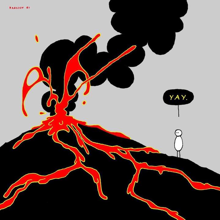 Eruption cartoon by Icelandic cartoonist @hugleikur
The first foundation of my research program is the study of tectonic and volcanic processes using geodesy and physical modeling. I integrate InSAR with other relevant observations including GNSS, seismic tremor, and geological constraints and use forward models and inverse theory to estimate key physical parameters, quantify their uncertainties, and test competing hypotheses about subsurface processes.
Together with my wonderful collaborators, we’ve delved into:
(1) Cascadia Slow Slip Events - InSAR has proven to be a stellar tool, beautifully complementing GPS measurements. (Zheng, PhD Thesis, 2019)
(2) Galapagos Sierra Negra - My work on Sierra Negra volcano in the Galápagos examined the mechanical interaction between its shallow magma reservoir and the trapdoor fault system within the caldera. (Zheng et al., 2022)
(3) Hawaii Kilauea post-2018 Caldera Collapse - A blended approach of InSAR and GPS measurements has been invaluable in uncovering the mysteries of Kilauea’s magmatic system. (Wang et al., 2021)
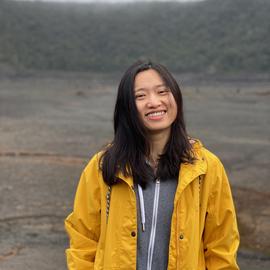
Yujie Zheng
Assistant Professor
I develop satellite radar and geodetic methods to understand how water, the solid Earth, climate variability, and human activity shape the surface and subsurface.